There are a number of different ways to classify landforms. One way is to categorize landforms by how they are created: landforms that are built (depositional), landforms that are carved (erosional), and landforms that are made by movements of the Earth's crust (tectonic). This article is an overview of the most common tectonic landforms.
Escarpment
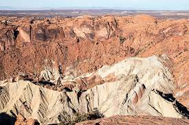
Escarpments are long, large breaks in the land that separates high and low country that may result from erosion or from fault activity. The world's premier escarpments can be found in Africa's famous Great Rift Valley, but Abert Rim may be North America's finest example of an escarpment. Abert Rim, located in south-central Oregon, is the site of a normal fault where the land in the foreground has dropped, meter by meter, relative to the plateau behind-one large earthquake at a time. At this point, the escarpment is more than 700 meters high. The thick bed of rock at the top is the Steen Basalt, a series of flood basalt flows that erupted about 16 million years ago. Abert Rim is part of the Basin and Range province, where normal faulting due to the extension of the crust has created hundreds of ranges, each flanked by basins-many of which contain dry lake beds, or playas.
Fault Scarp
Motion on a fault may raise one side above the other and create a scarp. Fault scarps are short-lived features in geologic terms, enduring no more than a few millennia at best; they are one of the purest tectonic landforms. The movements that raise scarps leave a large area of land on one side of the fault higher than the other side, a persistent elevation difference that erosion can obscure but never erase. As fault displacement is repeated thousands of times over millions of years, larger escarpments and whole mountain ranges—like the high Sierra Nevada range beyond-can arise. This fault scarp formed in the 1872 Owens Valley earthquake.
Pressure Ridge
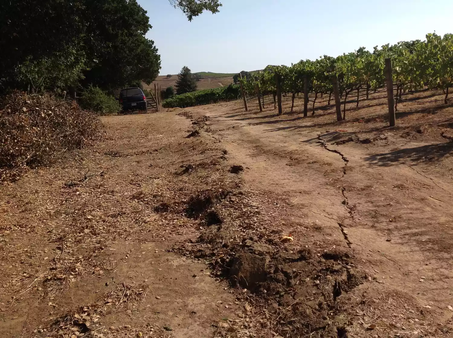
Faults like the San Andreas fault are rarely perfectly straight, but rather curve back and forth to some degree. Pressure ridges form where lateral motions on a curving fault force rocks into a smaller space, pushing them upward. In other words, when a bulge on one side of the fault is carried against a bulge on the other side, the excess material is pushed upward. Where the opposite occurs, the ground is depressed in a sag basin. The South Napa earthquake of 2014 created this small "mole track" pressure ridge in a vineyard. Pressure ridges occur in all sizes: along the San Andreas fault, its major bends coincide with mountain ranges like the Santa Cruz, San Emigdio and San Bernardino Mountains.
Rift Valley
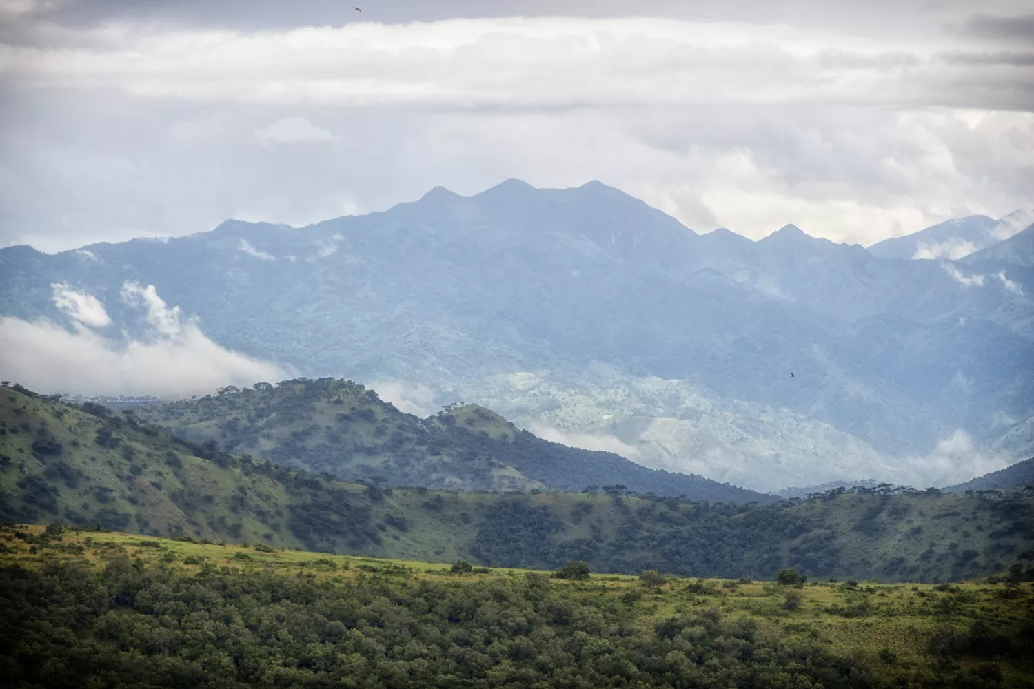
Rift valleys appear where the whole lithosphere is pulled apart, creating a long, deep basin between two long highland belts. Africa's Great Rift Valley is the world's largest example of a rift valley. Other major rift valleys on the continents include the Rio Grande Valley in New Mexico and the Lake Baikal rift valley in Siberia. But the greatest rift valleys are under the sea, running along the crest of the midocean ridges where the oceanic plates pull apart.
Sag Basin
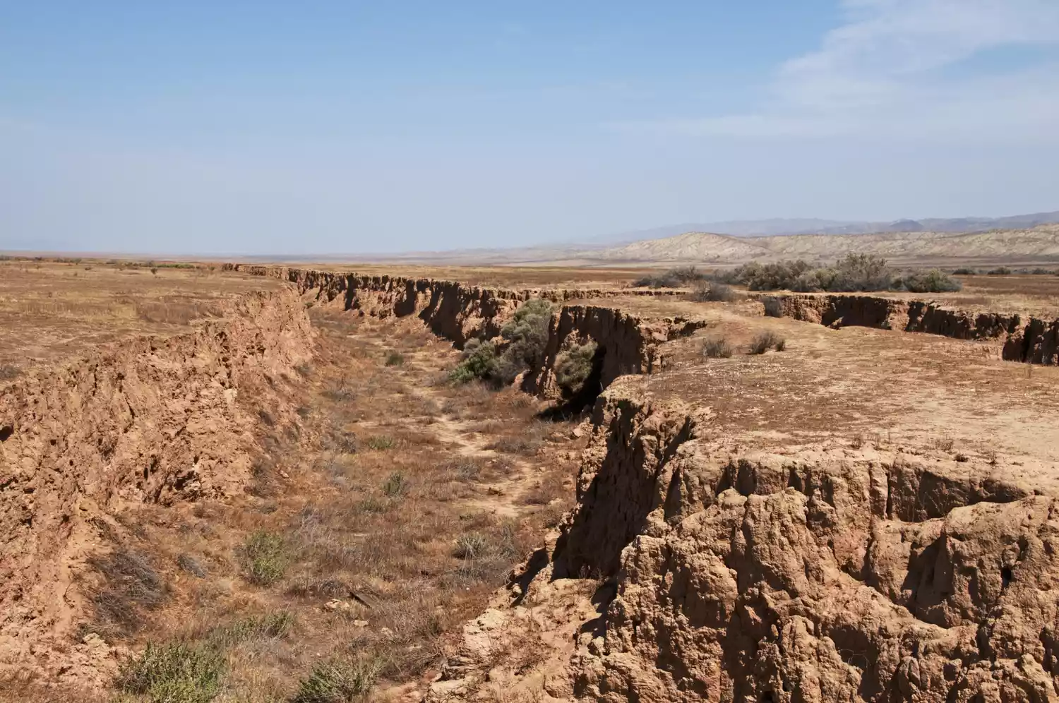
Sag basins occur along the San Andreas and other transcurrent (strike-slip) faults—they're the counterpart of pressure ridges. Strike-slip faults like the San Andreas fault are rarely perfectly straight, but rather curve back and forth to some degree. When a concavity on one side of the fault is carried against another on the other side, the ground between sags in a depression or basin. Sag basins can also form along faults with part normal and part strike-slip motion, where the blended stress called transtension operates. They may be called pull-apart basins. This example is from the San Andreas fault in the Carrizo Plain National Monument in California. Sag basins can be quite large; the San Francisco Bay is an example. Where the ground surface of the sag basin falls below the water table, a sag pond appears. Examples of sag ponds can be found along the San Andreas fault and the Hayward fault.
Shutter Ridge
Shutter ridges are common on the San Andreas and other strike-slip faults. The rock ridge is moving to the right and blocking the stream. Shutter ridges occur where the fault carries high ground on one side past low ground on the other. In this case, the Hayward fault in Oakland carries the rocky ridge toward the left, blocking the course of Temescal Creek-here dammed to form Lake Temescal at the site of a former sag pond. The result is a stream offset. The motion of the barrier is like the shutter of an old-fashioned box camera, hence the name. Compare this to a stream offset, which is analogous.
Stream Offset
Stream offsets are the counterpart to shutter ridges, a sign of lateral movement on strike-slip faults like the San Andreas fault. This stream offset is on the San Andreas fault in Carrizo Plain National Monument. The stream is named Wallace Creek after geologist Robert Wallace, who documented many of the remarkable fault-related features here. The great 1857 earthquake is estimated to have moved the ground sideways about 10 meters here. So, earlier earthquakes clearly helped produce this offset. The left bank of the stream, with the dirt road on it, can be considered a shutter ridge. Compare to a shutter ridge, which is exactly analogous. Stream offsets are rarely this dramatic, but a line of them is still easy to detect on aerial photos of the San Andreas fault system.


No comments:
Post a Comment